
Castillejos topographic map
Interactive map
Click on the map to display elevation.
About this map
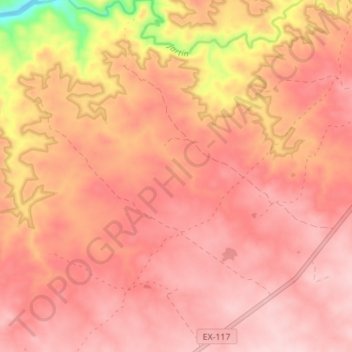
Name: Castillejos topographic map, elevation, terrain.
Location: Castillejos, Alcántara, Cáceres, Extremadura, Spain (39.63230 -6.94904 39.68575 -6.89094)
Average elevation: 280 m
Minimum elevation: 114 m
Maximum elevation: 338 m