
Berja topographic map
Interactive map
Click on the map to display elevation.
About this map
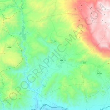
Name: Berja topographic map, elevation, terrain.
Location: Berja, Almeria, Andalusia, 04760, Spain (36.78263 -3.07395 36.91993 -2.84617)
Average elevation: 671 m
Minimum elevation: 25 m
Maximum elevation: 2,134 m