
Zorge topographic map
Interactive map
Click on the map to display elevation.
About this map
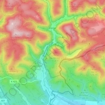
Name: Zorge topographic map, elevation, terrain.
Location: Zorge, Walkenried, Landkreis Göttingen, Nedersaksen, Duitsland (51.60184 10.61681 51.64939 10.65167)
Average elevation: 432 m
Minimum elevation: 270 m
Maximum elevation: 612 m