
Guaro topographic map
Interactive map
Click on the map to display elevation.
About this map
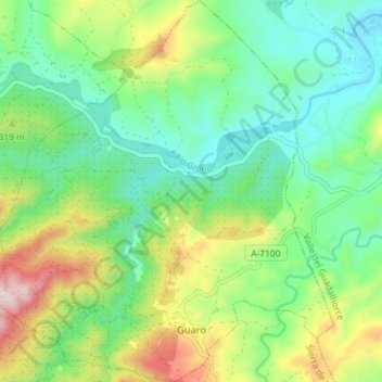
Name: Guaro topographic map, elevation, terrain.
Location: Guaro, Malaga, Andalusia, 29108, Spain (36.64824 -4.87160 36.70597 -4.80756)
Average elevation: 259 m
Minimum elevation: 100 m
Maximum elevation: 592 m