
Alojera topographic map
Interactive map
Click on the map to display elevation.
About this map
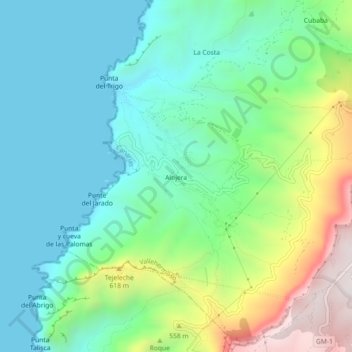
Name: Alojera topographic map, elevation, terrain.
Location: Alojera, Santa Cruz de Tenerife, Canary Islands, Spain (28.14227 -17.34789 28.18227 -17.30789)
Average elevation: 279 m
Minimum elevation: 0 m
Maximum elevation: 1,002 m