
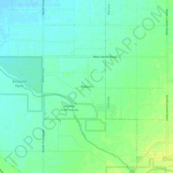
Dobson topographic map
Interactive map
Click on the map to display elevation.
About this map
Name: Dobson topographic map, elevation, terrain.
Location: Dobson, Pima County, Arizona, United States (32.45340 -111.31233 32.49340 -111.27233)
Average elevation: 583 m
Minimum elevation: 576 m
Maximum elevation: 592 m