
Negros topographic map
Interactive map
Click on the map to display elevation.
About this map
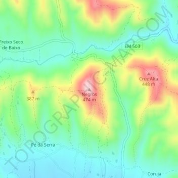
Name: Negros topographic map, elevation, terrain.
Location: Negros, Salir, Loulé, Faro, Algarve, 8100-202, Portugal (37.26089 -8.04881 37.26099 -8.04871)
Average elevation: 295 m
Minimum elevation: 209 m
Maximum elevation: 464 m