
Łódź-Bałuty topographic map
Interactive map
Click on the map to display elevation.
About this map
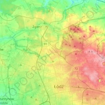
Name: Łódź-Bałuty topographic map, elevation, terrain.
Location: Łódź-Bałuty, Łódź, Łódź Voivodeship, Poland (51.77660 19.32086 51.85983 19.56839)
Average elevation: 205 m
Minimum elevation: 150 m
Maximum elevation: 282 m