
Binnenhafen topographic map
Interactive map
Click on the map to display elevation.
About this map
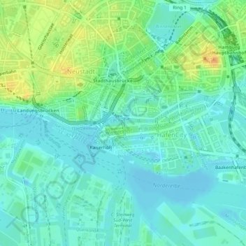
Name: Binnenhafen topographic map, elevation, terrain.
Location: Binnenhafen, Hamburg, 20457, Deutschland (53.54405 9.98350 53.54427 9.98732)
Average elevation: 11 m
Minimum elevation: -4 m
Maximum elevation: 35 m
Other topographic maps
Click on a map to view its topography, its elevation and its terrain.