
Yenangyaung topographic map
Interactive map
Click on the map to display elevation.
About this map
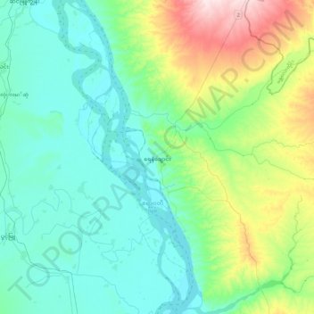
Name: Yenangyaung topographic map, elevation, terrain.
Location: Yenangyaung, Magway District, Magway, Myanmar (20.29356 94.77782 20.63176 95.20628)
Average elevation: 112 m
Minimum elevation: 33 m
Maximum elevation: 395 m