
Pangititan Island topographic map
Interactive map
Click on the map to display elevation.
About this map
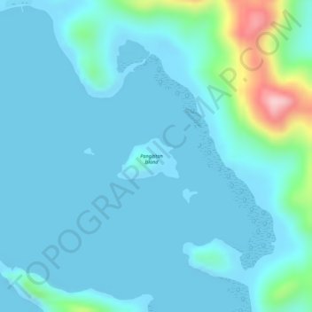
Name: Pangititan Island topographic map, elevation, terrain.
Average elevation: 29 m
Minimum elevation: -3 m
Maximum elevation: 217 m
Other topographic maps
Click on a map to view its topography, its elevation and its terrain.
Dipalian Island
Philippines > Palawan > Linapacan
Dipalian Island, Linapacan, Palawan, Mimaropa, 5314, Philippines
Average elevation: 3 m
Linapacan
Philippines > Palawan > Linapacan
Linapacan, Palawan, Mimaropa, 5314, Philippines
Average elevation: 22 m