
Palo Grande topographic map
Interactive map
Click on the map to display elevation.
About this map
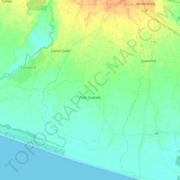
Name: Palo Grande topographic map, elevation, terrain.
Location: Palo Grande, Distrito Alanje, Chiriquí, Panamá (8.30285 -82.66261 8.39479 -82.57555)
Average elevation: 13 m
Minimum elevation: 0 m
Maximum elevation: 40 m