
Mount Casiama topographic map
Interactive map
Click on the map to display elevation.
About this map
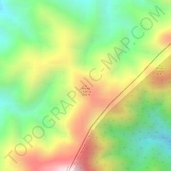
Name: Mount Casiama topographic map, elevation, terrain.
Average elevation: 1,221 m
Minimum elevation: 888 m
Maximum elevation: 1,615 m
Other topographic maps
Click on a map to view its topography, its elevation and its terrain.
La Paz Sand Dunes
Philippines > Ilocos Norte > Laoag
La Paz Sand Dunes, Laoag, Ilocos Norte, Ilocos Region, Philippines
Average elevation: 7 m