
Trevi topographic map
Interactive map
Click on the map to display elevation.
About this map
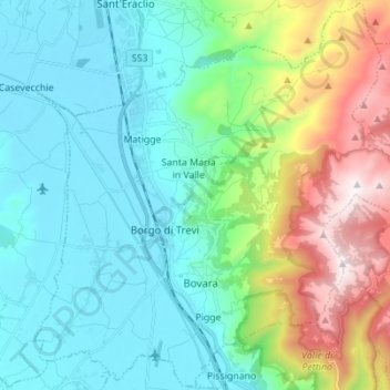
Name: Trevi topographic map, elevation, terrain.
Location: Trevi, PG, Umbria, 06039, Italy (42.83403 12.69013 42.93376 12.82816)
Average elevation: 507 m
Minimum elevation: 200 m
Maximum elevation: 1,418 m