
Forfar topographic map
Interactive map
Click on the map to display elevation.
About this map
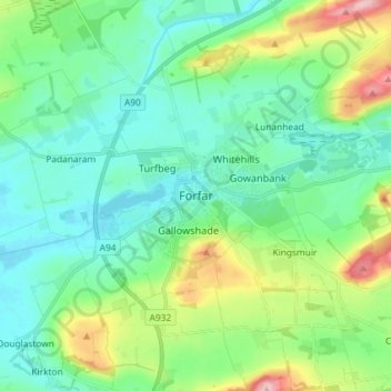
Name: Forfar topographic map, elevation, terrain.
Location: Forfar, Angus, Scotland, DD8 0SA, United Kingdom (56.60430 -2.92821 56.68430 -2.84821)
Average elevation: 95 m
Minimum elevation: 51 m
Maximum elevation: 228 m