
Stoumont topographic map
Interactive map
Click on the map to display elevation.
About this map
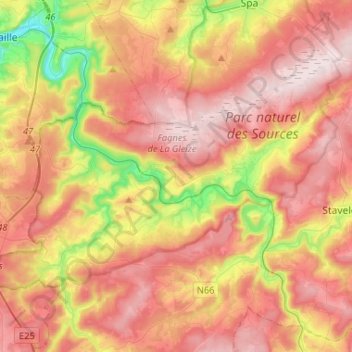
Name: Stoumont topographic map, elevation, terrain.
Location: Stoumont, Verviers, Liège, Wallonia, 4987, Belgium (50.35625 5.67009 50.46420 5.93091)
Average elevation: 381 m
Minimum elevation: 120 m
Maximum elevation: 580 m