
Aurora topographic map
Interactive map
Click on the map to display elevation.
About this map
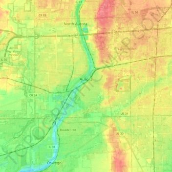
Name: Aurora topographic map, elevation, terrain.
Average elevation: 212 m
Minimum elevation: 183 m
Maximum elevation: 241 m
Other topographic maps
Click on a map to view its topography, its elevation and its terrain.
Wayne
United States > Illinois > Kane County
Wayne, Kane County, Illinois, 60184, United States
Average elevation: 233 m