
Klein Borstel topographic map
Interactive map
Click on the map to display elevation.
About this map
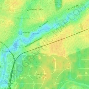
Name: Klein Borstel topographic map, elevation, terrain.
Location: Klein Borstel, Hamburg-Nord, Hamburg, 22337, Deutschland (53.62170 10.03922 53.64170 10.05922)
Average elevation: 20 m
Minimum elevation: 5 m
Maximum elevation: 31 m
Other topographic maps
Click on a map to view its topography, its elevation and its terrain.