
Shell Island topographic map
Interactive map
Click on the map to display elevation.
About this map
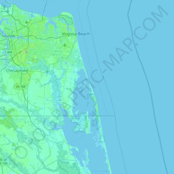
Name: Shell Island topographic map, elevation, terrain.
Location: Shell Island, Virginia Beach, Virginia, USA (36.33543 -76.24548 36.97543 -75.60548)
Average elevation: 2 m
Minimum elevation: -4 m
Maximum elevation: 41 m