
Teeswater River topographic map
Interactive map
Click on the map to display elevation.
About this map
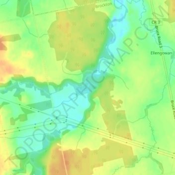
Name: Teeswater River topographic map, elevation, terrain.
Location: Teeswater River, Brockton, Bruce County, Ontario, Canada (44.24739 -81.25492 44.24856 -81.25451)
Average elevation: 247 m
Minimum elevation: 229 m
Maximum elevation: 262 m
Other topographic maps
Click on a map to view its topography, its elevation and its terrain.
Lake Rosalind
Lake Rosalind, Lake Rosalind 5 Road, Brockton, Bruce County, Southwestern Ontario, Ontario, N4N 3B9, Canada
Average elevation: 289 m