
Santo Niño topographic map
Interactive map
Click on the map to display elevation.
About this map
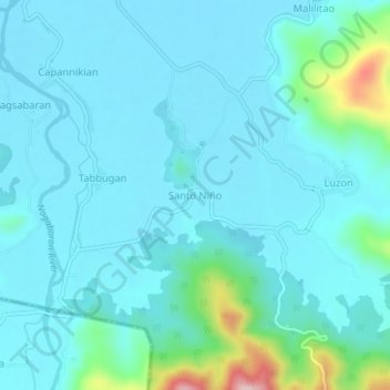
Name: Santo Niño topographic map, elevation, terrain.
Location: Santo Niño, Claveria, Cagayan, Cagayan Valley, Philippines (18.53178 121.08908 18.57178 121.12908)
Average elevation: 41 m
Minimum elevation: 4 m
Maximum elevation: 270 m