
Bucaramanga topographic map
Interactive map
Click on the map to display elevation.
About this map
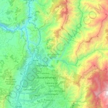
Name: Bucaramanga topographic map, elevation, terrain.
Location: Bucaramanga, Santander, Colombia (7.06968 -73.16937 7.26372 -73.04906)
Average elevation: 1,196 m
Minimum elevation: 424 m
Maximum elevation: 2,675 m