
Sabtang topographic map
Interactive map
Click on the map to display elevation.
About this map
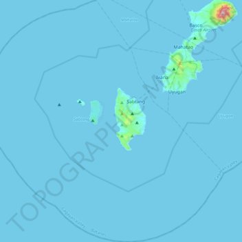
Name: Sabtang topographic map, elevation, terrain.
Location: Sabtang, Batanes, Cagayan Valley, 3904, Philippines (20.12389 121.63389 20.48646 122.01293)
Average elevation: 9 m
Minimum elevation: 0 m
Maximum elevation: 1,001 m
Other topographic maps
Click on a map to view its topography, its elevation and its terrain.