
Gadír topographic map
Interactive map
Click on the map to display elevation.
About this map
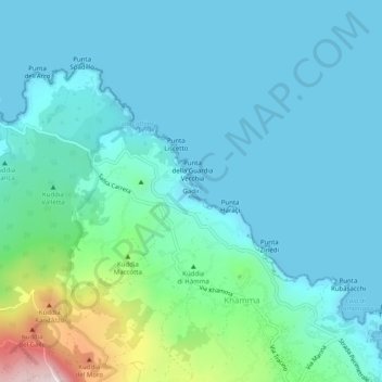
Name: Gadír topographic map, elevation, terrain.
Location: Gadír, Trapani, Sicily, Italy (36.79230 12.00536 36.83230 12.04536)
Average elevation: 92 m
Minimum elevation: 0 m
Maximum elevation: 569 m