
Calumpang topographic map
Interactive map
Click on the map to display elevation.
About this map
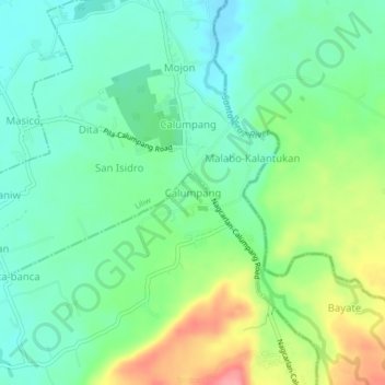
Name: Calumpang topographic map, elevation, terrain.
Location: Calumpang, Nagcarlan, Laguna, Calabarzon, 4002, Philippines (14.17620 121.38073 14.21620 121.42073)
Average elevation: 50 m
Minimum elevation: 17 m
Maximum elevation: 116 m
Other topographic maps
Click on a map to view its topography, its elevation and its terrain.
Mounts Banahaw–San Cristobal Protected Landscape
Philippines > Laguna > Nagcarlan
Average elevation: 707 m