
Angilan topographic map
Interactive map
Click on the map to display elevation.
About this map
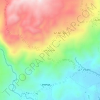
Name: Angilan topographic map, elevation, terrain.
Location: Angilan, Bohol, Central Visayas, Philippines (9.70023 124.36366 9.74023 124.40366)
Average elevation: 308 m
Minimum elevation: 2 m
Maximum elevation: 715 m