
San Vicente Island topographic map
Interactive map
Click on the map to display elevation.
About this map
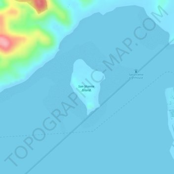
Name: San Vicente Island topographic map, elevation, terrain.
Average elevation: 10 m
Minimum elevation: 0 m
Maximum elevation: 129 m
Other topographic maps
Click on a map to view its topography, its elevation and its terrain.
Crocodile Island
Philippines > Cagayan > Punta Verde
Crocodile Island, Punta Verde, Santa Ana, Cagayan, Cagayan Valley, 3514, Philippines
Average elevation: 3 m