
Karuhatan topographic map
Interactive map
Click on the map to display elevation.
About this map
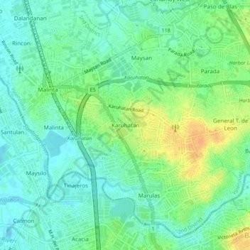
Name: Karuhatan topographic map, elevation, terrain.
Location: Karuhatan, 2nd District, 1441, Philippines (14.66668 120.95748 14.70668 120.99748)
Average elevation: 13 m
Minimum elevation: -3 m
Maximum elevation: 34 m