
McLain topographic map
Interactive map
Click on the map to display elevation.
About this map
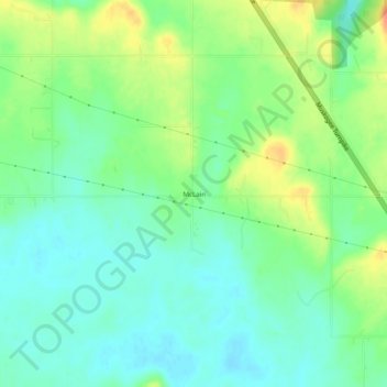
Name: McLain topographic map, elevation, terrain.
Location: McLain, Muskogee County, Oklahoma, USA (35.54649 -95.28885 35.58649 -95.24885)
Average elevation: 164 m
Minimum elevation: 148 m
Maximum elevation: 191 m