
Hawthorne topographic map
Interactive map
Click on the map to display elevation.
About this map
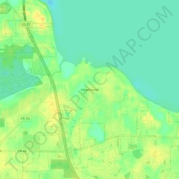
Name: Hawthorne topographic map, elevation, terrain.
Location: Hawthorne, Lake County, Florida, 34762, USA (28.74138 -81.89091 28.78138 -81.85091)
Average elevation: 24 m
Minimum elevation: 12 m
Maximum elevation: 37 m