
Cordillera Central topographic map
Interactive map
Click on the map to display elevation.
About this map
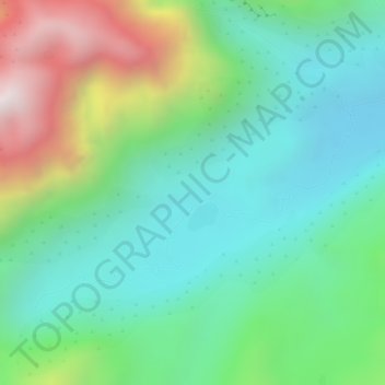
Name: Cordillera Central topographic map, elevation, terrain.
Location: Cordillera Central, Planadas, Sur, Tolima, Colombia (2.99995 -76.00005 3.00005 -75.99995)
Average elevation: 3,706 m
Minimum elevation: 3,424 m
Maximum elevation: 4,285 m
The Cauca Valley montane forests ecoregion covers the western slope of the range. The Magdalena Valley montane forests cover the eastern slopes and the northern end of the cordillera. The Northern Andean páramo covers the highest elevations.