
Catani topographic map
Interactive map
Click on the map to display elevation.
About this map
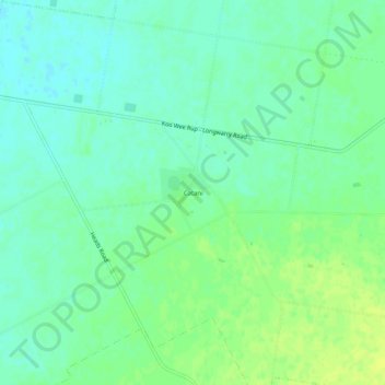
Name: Catani topographic map, elevation, terrain.
Location: Catani, Shire of Cardinia, Victoria, Australia (-38.21480 145.62133 -38.17480 145.66133)
Average elevation: 23 m
Minimum elevation: 15 m
Maximum elevation: 31 m
Other topographic maps
Click on a map to view its topography, its elevation and its terrain.