
Ipís topographic map
Interactive map
Click on the map to display elevation.
About this map
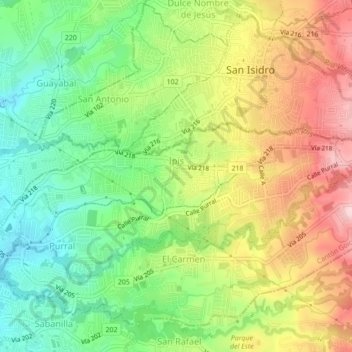
Name: Ipís topographic map, elevation, terrain.
Location: Ipís, Cantón Goicoechea, Provincia San José, 10805, Costa Rica (9.95748 -84.04086 9.97030 -83.99827)
Average elevation: 1,331 m
Minimum elevation: 1,223 m
Maximum elevation: 1,471 m