
Longos topographic map
Interactive map
Click on the map to display elevation.
About this map
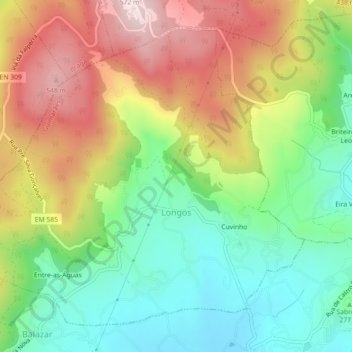
Name: Longos topographic map, elevation, terrain.
Location: Longos, Guimarães, Braga, Portugal (41.50955 -8.39197 41.53790 -8.34727)
Average elevation: 328 m
Minimum elevation: 147 m
Maximum elevation: 570 m