
Ko Chang topographic map
Interactive map
Click on the map to display elevation.
About this map
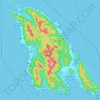
Name: Ko Chang topographic map, elevation, terrain.
Location: Ko Chang, Trat Province, 23170, Thailand (11.95176 102.24923 12.15742 102.44674)
Average elevation: 76 m
Minimum elevation: 0 m
Maximum elevation: 719 m