
Aranyaprathet topographic map
Interactive map
Click on the map to display elevation.
About this map
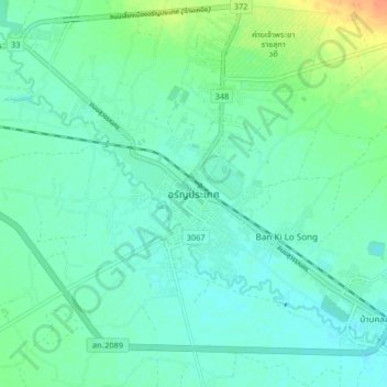
Name: Aranyaprathet topographic map, elevation, terrain.
Location: Aranyaprathet, Sa Kaeo Province, Thailand (13.65090 102.46382 13.73090 102.54382)
Average elevation: 50 m
Minimum elevation: 40 m
Maximum elevation: 79 m