
Turtle Island topographic map
Interactive map
Click on the map to display elevation.
About this map
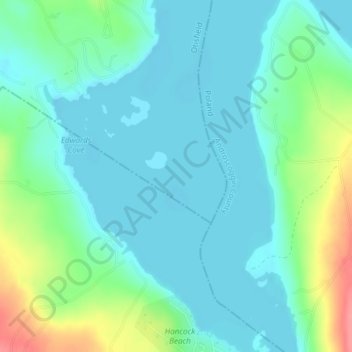
Name: Turtle Island topographic map, elevation, terrain.
Location: Turtle Island, Oxford County, Maine, USA (44.03559 -70.48391 44.03584 -70.48366)
Average elevation: 118 m
Minimum elevation: 98 m
Maximum elevation: 180 m
Other topographic maps
Click on a map to view its topography, its elevation and its terrain.
La Grande Island
La Grande Island, Grand Isle Township, Aroostook County, Maine, 04746, USA
Average elevation: 255 m
Cunningham Mountains
Cunningham Mountains, Penobscot County, Maine, USA
Average elevation: 262 m