
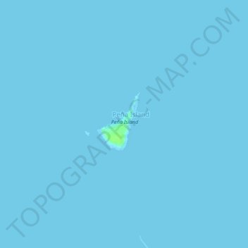
Pena Island topographic map
Interactive map
Click on the map to display elevation.
About this map
Name: Pena Island topographic map, elevation, terrain.
Location: Pena Island, Bangad, Masbate, Bicol Region, Philippines (12.00063 123.61608 12.04063 123.65608)
Average elevation: 0 m
Minimum elevation: 0 m
Maximum elevation: 8 m