
Distrito Bugaba topographic map
Interactive map
Click on the map to display elevation.
About this map
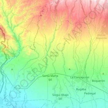
Name: Distrito Bugaba topographic map, elevation, terrain.
Location: Distrito Bugaba, Chiriquí, Panama (8.43569 -82.83675 8.72721 -82.59150)
Average elevation: 446 m
Minimum elevation: 7 m
Maximum elevation: 1,365 m
Other topographic maps
Click on a map to view its topography, its elevation and its terrain.