
Yawata topographic map
Interactive map
Click on the map to display elevation.
About this map
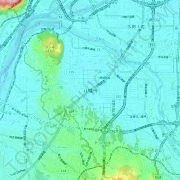
Name: Yawata topographic map, elevation, terrain.
Location: Yawata, Kyoto Prefecture, Kinki Region, Japan (34.82220 135.67992 34.89923 135.75288)
Average elevation: 29 m
Minimum elevation: 1 m
Maximum elevation: 236 m
Other topographic maps
Click on a map to view its topography, its elevation and its terrain.