
Mangas topographic map
Interactive map
Click on the map to display elevation.
About this map
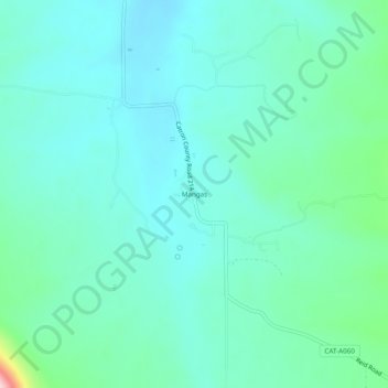
Name: Mangas topographic map, elevation, terrain.
Location: Mangas, Catron County, New Mexico, USA (34.13700 -108.33923 34.17700 -108.29923)
Average elevation: 2,264 m
Minimum elevation: 2,219 m
Maximum elevation: 2,470 m