
Rayagada topographic map
Interactive map
Click on the map to display elevation.
About this map
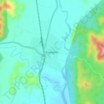
Name: Rayagada topographic map, elevation, terrain.
Location: Rayagada, Odisha, 765001, India (19.12960 83.37800 19.20960 83.45800)
Average elevation: 280 m
Minimum elevation: 159 m
Maximum elevation: 877 m