
Batan Island topographic map
Interactive map
Click on the map to display elevation.
About this map
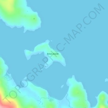
Name: Batan Island topographic map, elevation, terrain.
Location: Batan Island, Sablayan, Sorsogon, Bicol Region, Philippines (12.85891 123.89974 12.86554 123.91070)
Average elevation: 10 m
Minimum elevation: -2 m
Maximum elevation: 129 m