
Nitra topographic map
Interactive map
Click on the map to display elevation.
About this map
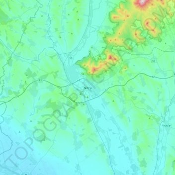
Name: Nitra topographic map, elevation, terrain.
Location: Nitra, Region of Nitra, Western Slovakia, 949 01, Slovakia (48.15295 17.92946 48.47295 18.24946)
Average elevation: 191 m
Minimum elevation: 113 m
Maximum elevation: 822 m