
Amarah topographic map
Interactive map
Click on the map to display elevation.
About this map
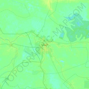
Name: Amarah topographic map, elevation, terrain.
Location: Amarah, Maysan, 0780, Iraq (31.68977 46.98965 32.00977 47.30965)
Average elevation: 8 m
Minimum elevation: 4 m
Maximum elevation: 13 m