
Mayabon topographic map
Interactive map
Click on the map to display elevation.
About this map
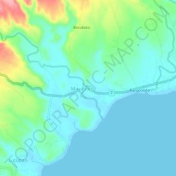
Name: Mayabon topographic map, elevation, terrain.
Average elevation: 28 m
Minimum elevation: 0 m
Maximum elevation: 126 m
Other topographic maps
Click on a map to view its topography, its elevation and its terrain.
Bangcolotan
Philippines > Negros Oriental > Mayabon
Bangcolotan, Mayabon, Negros Oriental, Central Visayas, 6218, Philippines
Average elevation: 16 m