
Los Banos topographic map
Interactive map
Click on the map to display elevation.
About this map
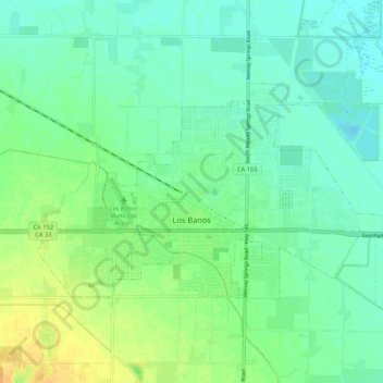
Name: Los Banos topographic map, elevation, terrain.
Location: Los Banos, Merced County, California, 93635, United States (37.04164 -120.89311 37.08949 -120.78699)
Average elevation: 36 m
Minimum elevation: 26 m
Maximum elevation: 53 m
Los Banos is located on the west side of the San Joaquin Valley, 26 miles (42 km) southwest of Merced, at about 118 ft (36 m) elevation. Its coordinates are 37°03′30″N 120°51′00″W / 37.05833°N 120.85000°W / 37.05833; -120.85000. The city is at the intersection of California State Route 152 and California State Route 165. 7 miles (11 km) to the west is Interstate 5, which runs north-to-south between Sacramento and Los Angeles. The San Luis Reservoir and the Diablo Range are farther to the west.