
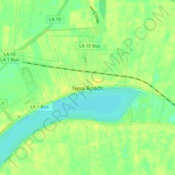
New Roads topographic map
Interactive map
Click on the map to display elevation.
About this map
Name: New Roads topographic map, elevation, terrain.
Location: New Roads, Pointe Coupee Parish, Louisiana, United States (30.67687 -91.48463 30.70993 -91.41943)
Average elevation: 10 m
Minimum elevation: 1 m
Maximum elevation: 17 m
New Roads is located at 30°41′47″N 91°26′20″W / 30.69639°N 91.43889°W / 30.69639; -91.43889 (30.696305, -91.438980) and has an elevation of 30 feet (9.1 m).