
Trent River topographic map
Interactive map
Click on the map to display elevation.
About this map
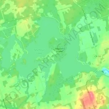
Name: Trent River topographic map, elevation, terrain.
Average elevation: 190 m
Minimum elevation: 166 m
Maximum elevation: 236 m
Other topographic maps
Click on a map to view its topography, its elevation and its terrain.
Norham
Canada > Ontario > Trent Hills > Norham
Norham, Trent Hills, Northumberland County, Central Ontario, Ontario, K0K 3K0, Canada
Average elevation: 150 m
Oak Island
Canada > Ontario > Trent Hills
Oak Island, Trent Hills, Northumberland County, Ontario, Canada
Average elevation: 188 m