
Manggahan topographic map
Interactive map
Click on the map to display elevation.
About this map
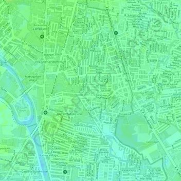
Name: Manggahan topographic map, elevation, terrain.
Location: Manggahan, Pasig, Metro Manila, 1600, Philippines (14.59484 121.08226 14.61339 121.10583)
Average elevation: 11 m
Minimum elevation: 4 m
Maximum elevation: 15 m
Other topographic maps
Click on a map to view its topography, its elevation and its terrain.